
Sequoias to the Sloughs (S2S) Project
Purpose
To develop and implement a Headwaters to Groundwater integrated watershed plan - including a vision and aligned projects - in the Deer Creek drainage that is integrated with the Lower Deer Creek Watershed Plan.”
Project Type
Integrated Watershed Management, including conservation, restoration, stewardship in all ‘reaches’ of the watershed
Summary Highlights
Captures approximately 60,000 acres Deer Creek drainage (including Tyler, Capinero, Rube, Gordon and Pothole Creeks)
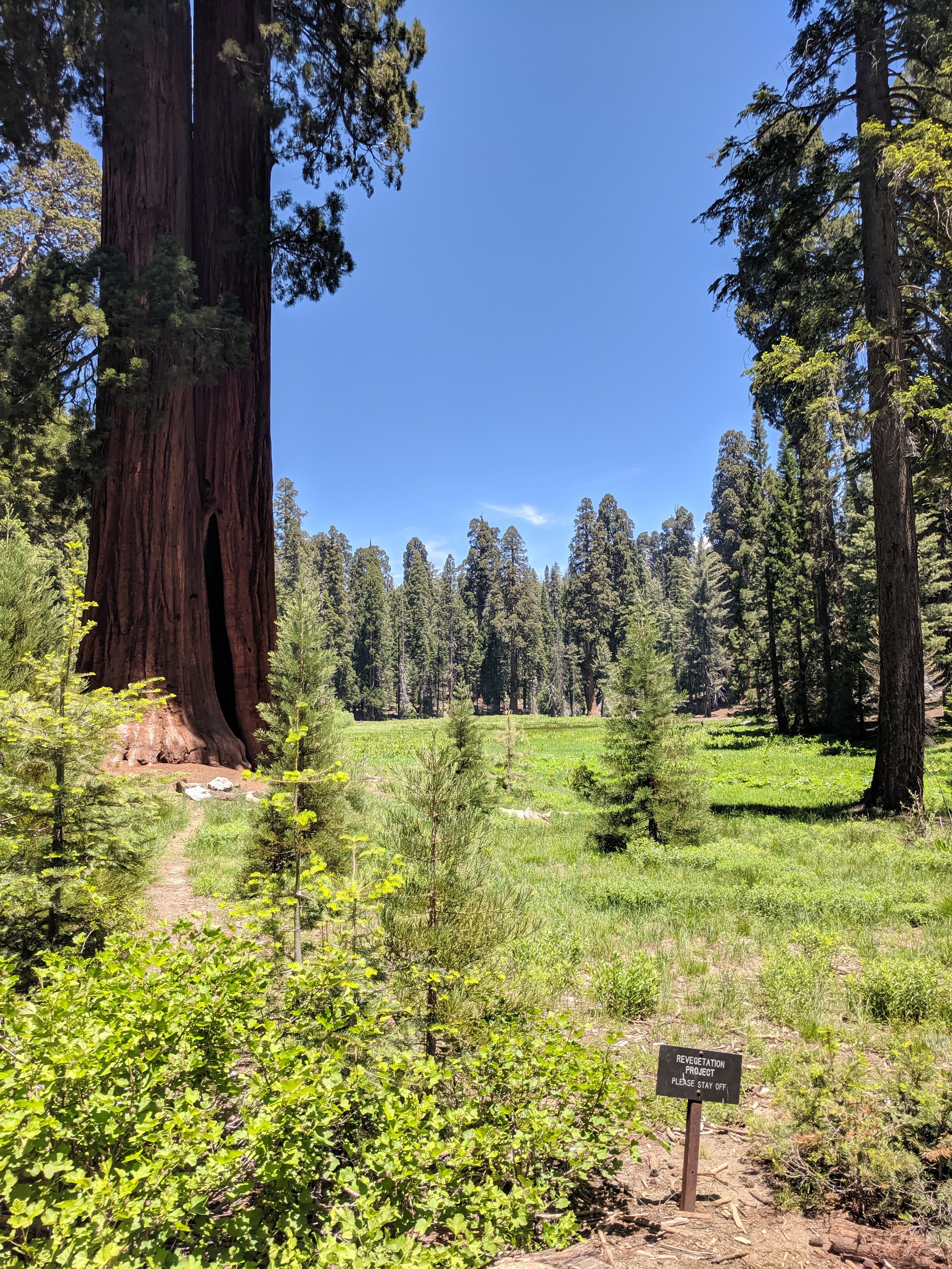
Southernmost grove of Giant Sequoia National Monument - the Deer Creek grove to Tulare Lake Basin in Pixley National Wildlife Refuge. 8,200 feet to almost sea level - Deer Creek is undammed
Why This Project?
Considerable work previously done in this watershed via the Conceptual Area Protection Plan (CAPP)
Collaboration with TBWN to address the Lower Deer Creek watershed/drainage
This is an underserved watershed that has significant ecological values and intact or remnant ecosystem types that are groundwater dependent, and climate- & water-use related risks as an undamed watershed. It is one of the last in the Southern Sierras.
Improvement of ecosystem functioning will benefit Valley interests including agriculture and community well-being.